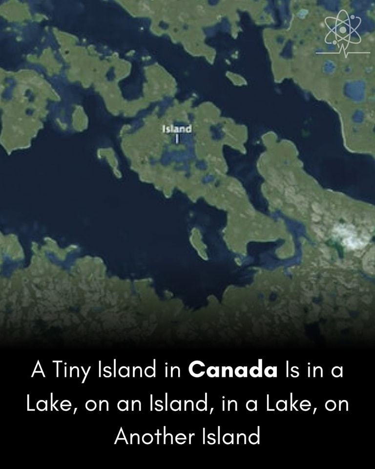
A geographical curiosity located on Victoria Island, in the Canadian Arctic, has gained attention for its rare and complex nesting of land and water.
The feature is a third-order island—that is, an island in a lake, on an island, in a lake, on another island.
This tiny piece of land represents the largest known third-order island in the world.
Location: The island exists on Victoria Island, which is Canada’s second-largest island and the world’s eighth-largest.
Geographical Structure:
Level 1: Victoria Island (main island)
Level 2: A lake on Victoria Island
Level 3: An island inside that lake
Level 4: A lake on that island
Level 5: The smallest island inside that final lake
This unique structure qualifies it as a third-order island because it includes three layers of alternating land and water.
Rather than being discovered through traditional exploration, this nested island came to public attention in 2012, thanks to amateur geographers using Google Earth and satellite imagery.
It became widely known after being highlighted by cartographers and geography enthusiasts, particularly on sites like Google Sightseeing and National Geographic.